
category: Legal, Photogrammetry
Map Picos de Europa.
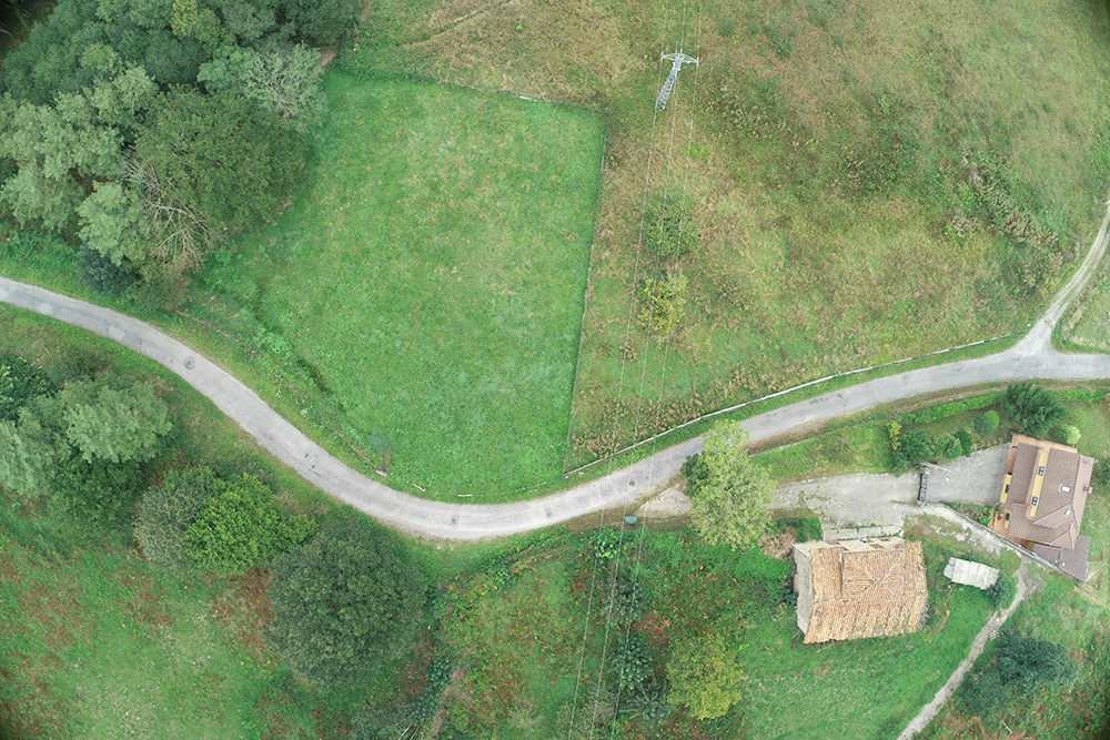
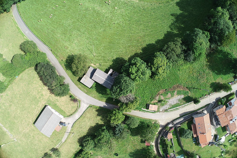
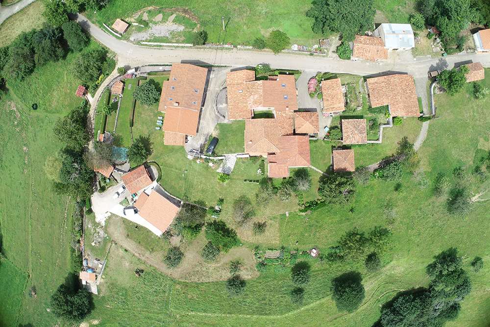
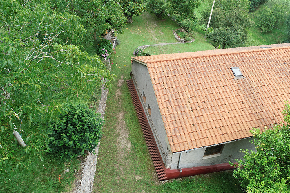
Using photogrammetric techniques that allow us to obtain information from objects or terrain, through air or ground means, we prepare valuable maps.
Task
Creation of mapping for the coordination of the cadastre and the registration of the property.
-
Date
August 29, 2019
-
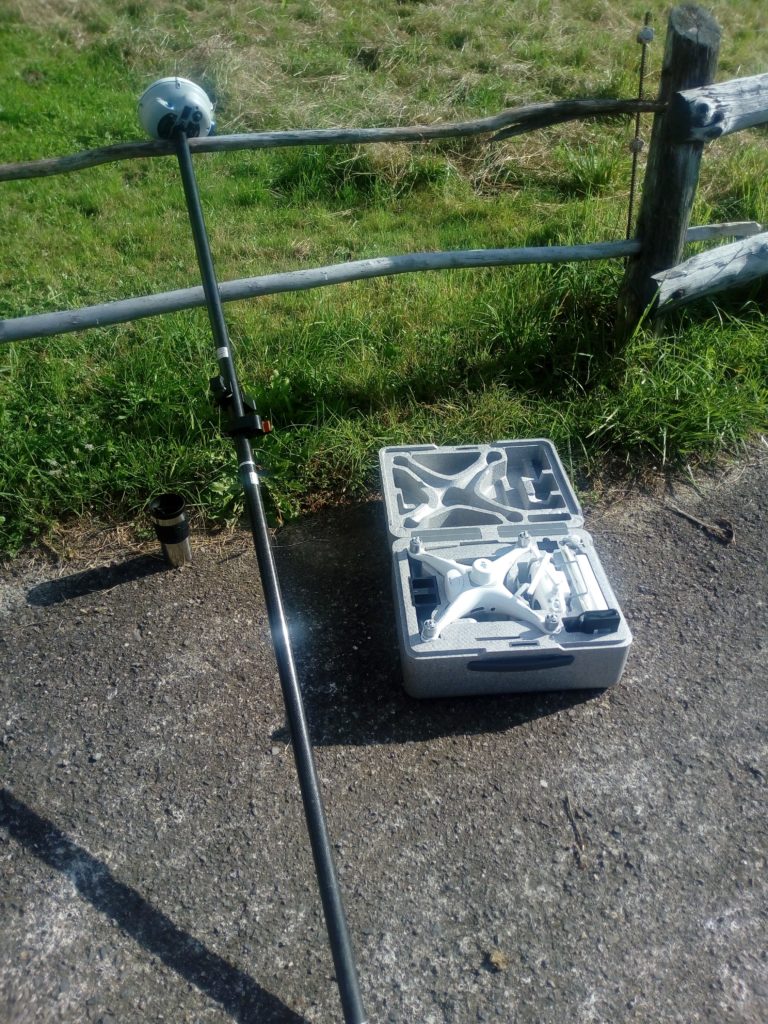
Skills
Photogrammetric Drone DJI 4 Pro RTK. PIX4D. MicroStation. GNSS Trimble R6. Trimble TSC3
-
Client
Private client.
-
Project link
http://coittop.e-visado.net/ZonaPublica/Validar.aspx?CVT=NV1COF97ND9F0E26